This year’s Iowa spring was hard on meteorologist morale, at least for those who study severe storms like Bill Gallus.
"Several of us who chase storms have complained that for many years in a row it seems like Iowa hasn’t been having a normal severe weather season in the spring," said Gallus, professor of geological and atmospheric sciences. "Then this year came along, and it’s just been unreal. It’s as though we jumped right into the middle of August, which is not tornado season."
"I personally find myself trying to pay more attention to walking the dog, gardening, having other things to fill the void," he joked. "It’s frustrating."
Though he may not be chasing storms, he has been chasing the best forecast, as a recent participant in the NOAA Hazardous Weather Testbed Spring Experiment in Norman, Okla. The experiment brought together researchers and forecasters from around the world to push the limits of severe weather forecasting.
"We’re in an environment that simulates the Storm Prediction Center, except we’re a couple of years into the future," Gallus said. "We get to play with the very latest modeling techniques and computer models that we think will do a better job of predicting thunderstorms and tornadoes."
Whereas a forecast is usually issued in day increments for severe weather, Gallus and others were asked to issue forecasts for four-hour periods, using 65 different computer models in a high-pressure, fast-paced environment.
"They have us push the envelope of what humans can do," Gallus said. "Have we learned enough from the research and do we have good enough computer models that we can do the next thing? Can we do a better job of telling people specific time periods of what’s happening?”
Gallus plans to write a proposal to work with the data generated in the project. The experiment was humbling, he said, as it made it clear that the task of predicting thunderstorms correctly remains incredibly difficult.
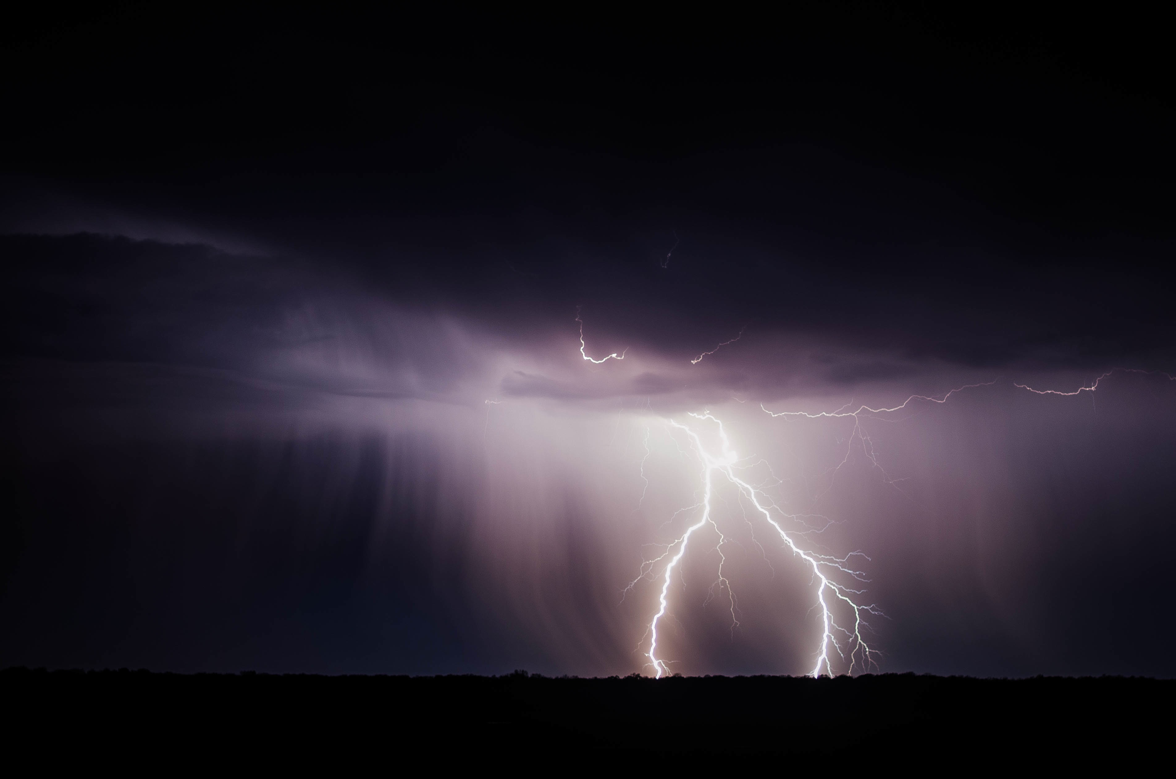
Forecasting thunderstorms at night, however, is even harder.
Gallus was recently awarded a $501,991 grant from the National Science Foundation for a three-year project to improve understanding of nocturnal mesoscale convective system evolution, or nighttime thunderstorms.
In much of the world, thunderstorms in the middle of the night are extremely rare, and because thunderstorms are so small, there still aren’t enough weather stations or data to see small clues in the atmosphere that could better predict the forecast, Gallus said.
"We normally have lots of thunderstorms happen in the middle of the night," he said. "What ends up causing them is very different than what causes daytime thunderstorms. We have an even bigger problem trying to forecast them because the atmosphere doesn’t care about what’s happening on the ground."
PECAN field project forecasters meet for a daily weather briefing to decide where scientists will go that night to collect thunderstorm data.Last summer Gallus served as lead forecaster on the Plains Elevated Convection at Night (PECAN) field project, the first big field project focusing on nighttime thunderstorms, which drew 200 international experts.
Logistics for such a project are "awful" though, Gallus said. Nighttime thunderstorms don’t reach maximum intensity until one or two in the morning. This means researchers must drive several hours each night, set up all instruments by last daylight and stay until the early hours of the morning to collect the data. If you arrive when it’s already dark, you risk not noticing a distant tree or power pole that could block your radar beam.
"You saw the impact of exhaustion as the project went on," he said. "There were a lot of people who said it took a month or two to get their body back."
Gallus is interested in what causes the upscale growth and expansion of storms at night, including atmospheric bores.
To understand an atmospheric bore, picture yourself stubbing your foot on a rug, Gallus said. Suddenly, you’ve made a wave somewhere else in the rug because of that connection. When a thunderstorm’s cold air bangs into the regular cool layer of air sitting above the ground, the same thing can happen.
"Some distance downstream these waves start. You can actually see them on HDR radar. These waves can move across states and even trigger new storms, so it’s important to know if they are likely to happen. We were basically the first people on earth to ever try and forecast these bores."